

I needed to get away from people, get away from 2020. That was a goal for this ride. And I did.
I’d like to hope that whenever I write about my little trips on my bicycle, I give the impression that just about anyone can do it.
Simply load up a bike with nice rainproof bags, head out on a reasonably safe route, spend a week or two seeing the beauty of Michigan up close and slow.
Even I, aging 50-something with a life of never being athletic, a couple decades of chronic health issues behind me, could do it.
Maybe I gave myself the wrong impression this time, I thought as I churned my wheels until they lost traction in the sandy gravel and spun to an awkward half-falling stop on a steep dirt road hill somewhere between Mesick and Cadillac.
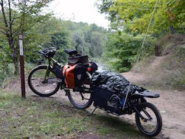
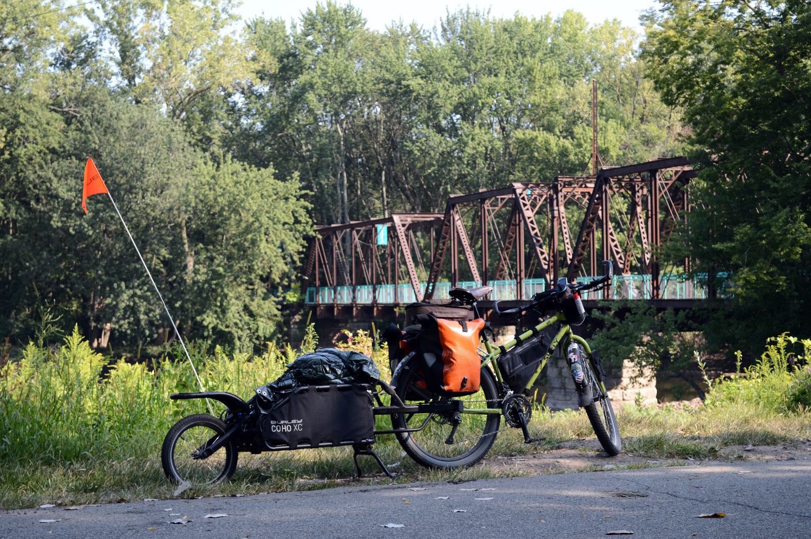
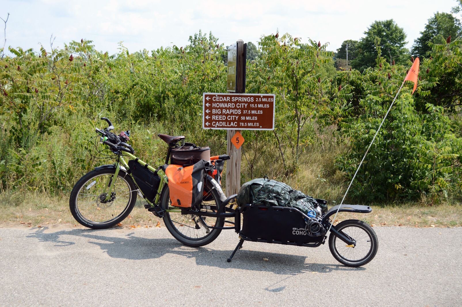
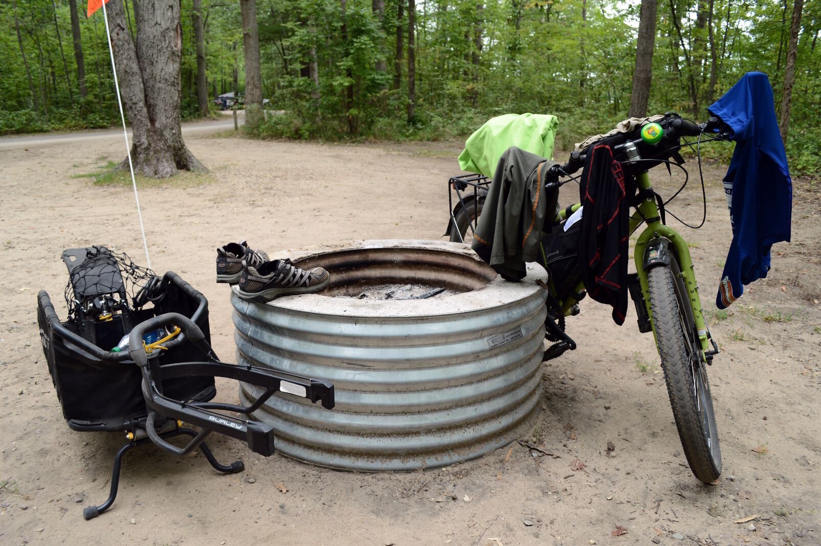
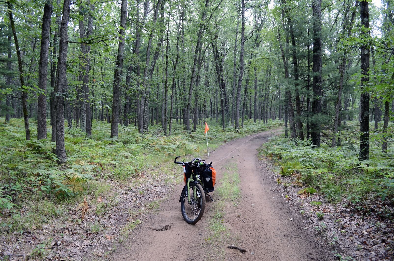
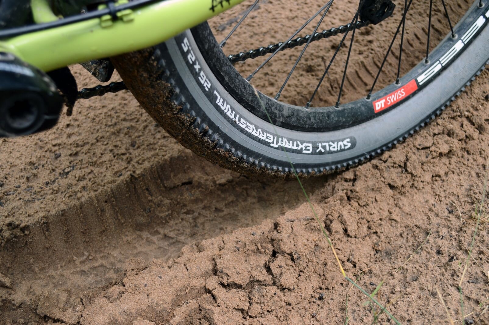
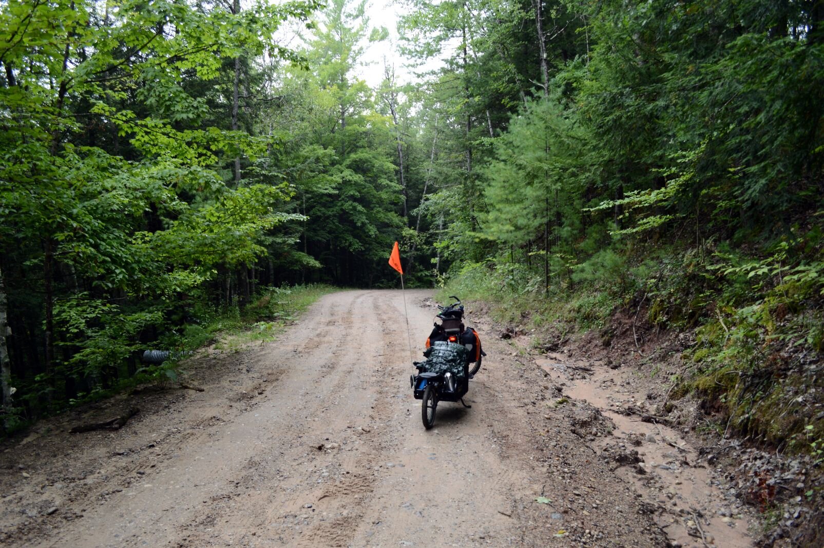
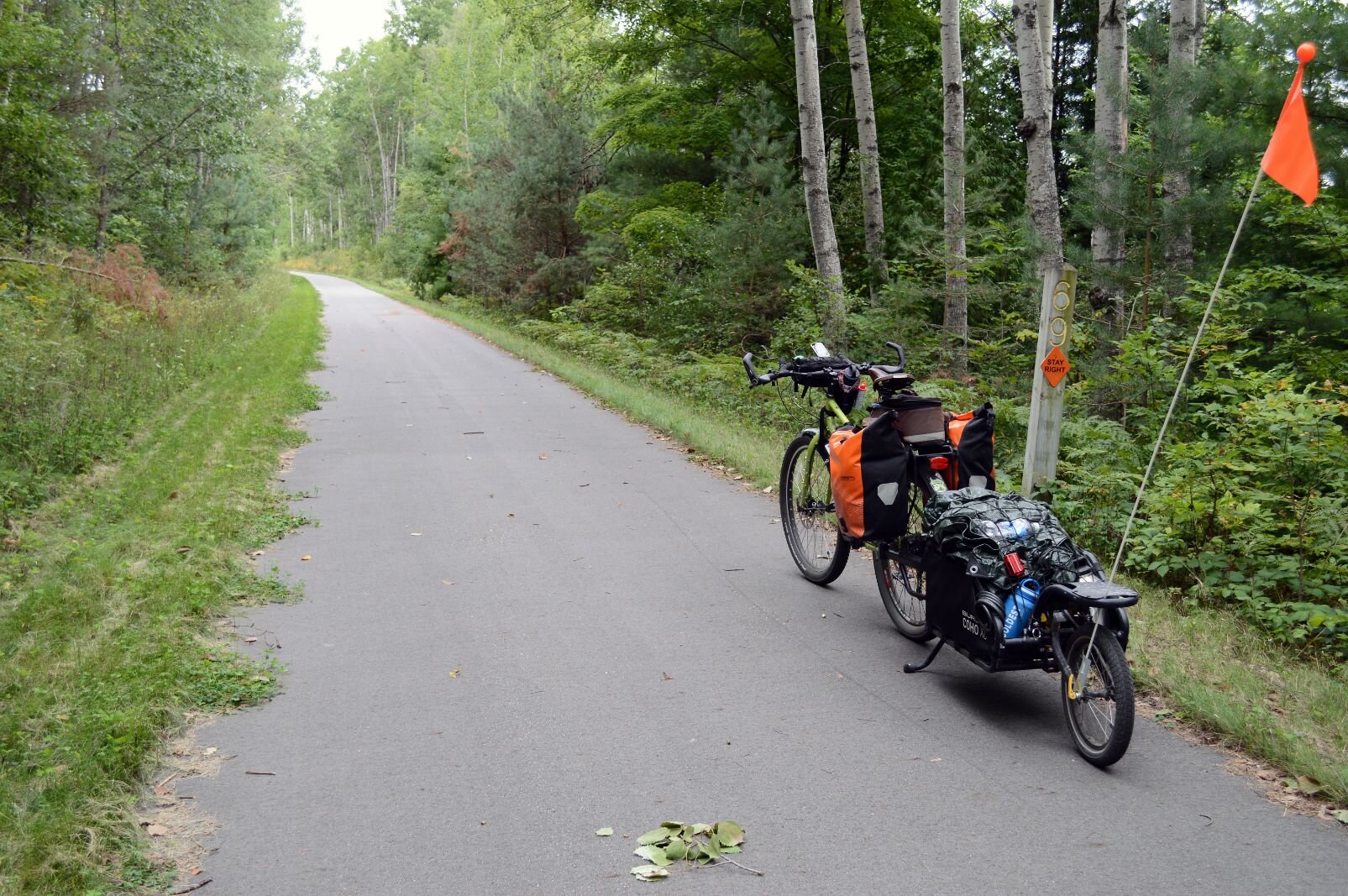
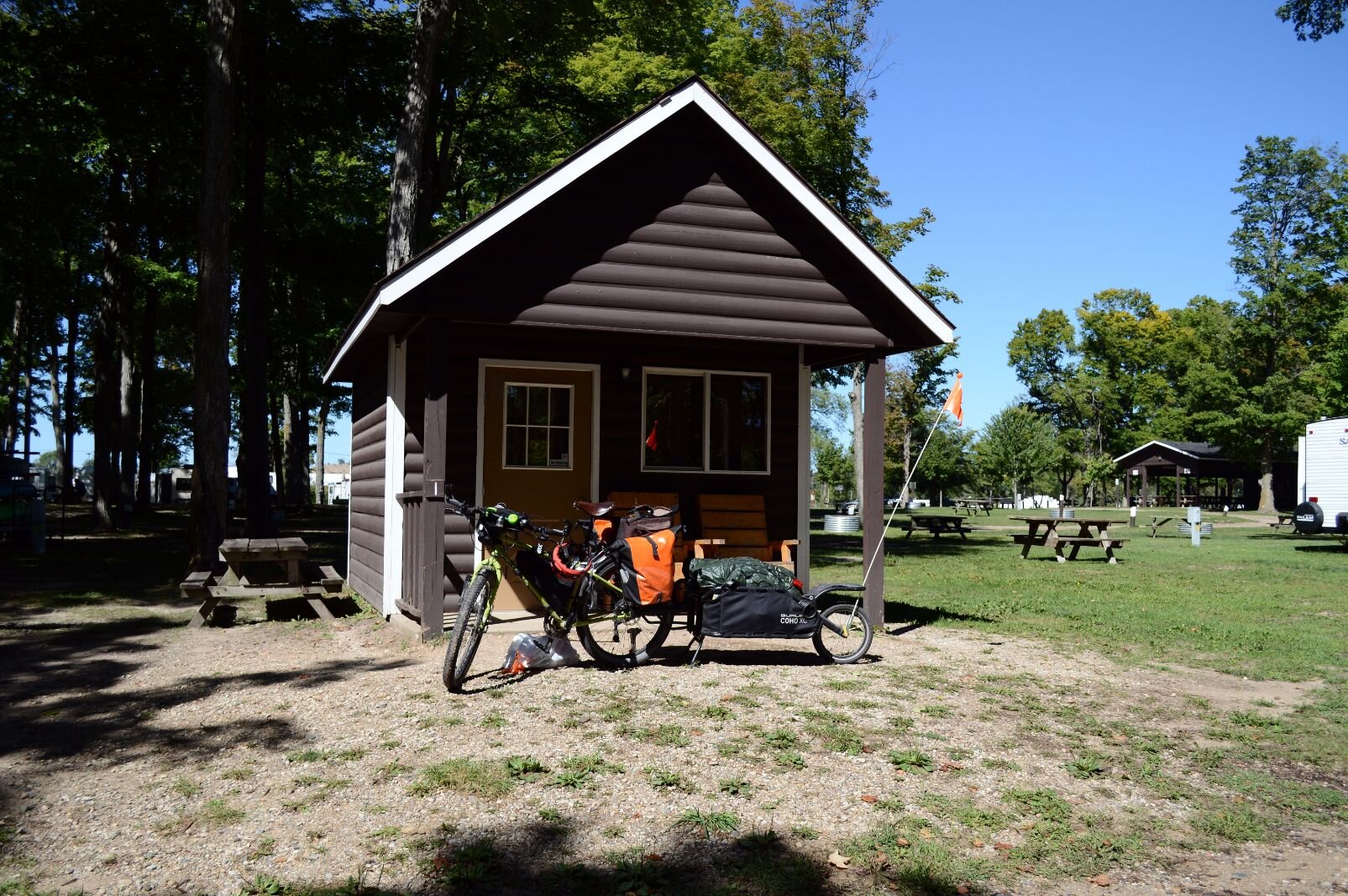
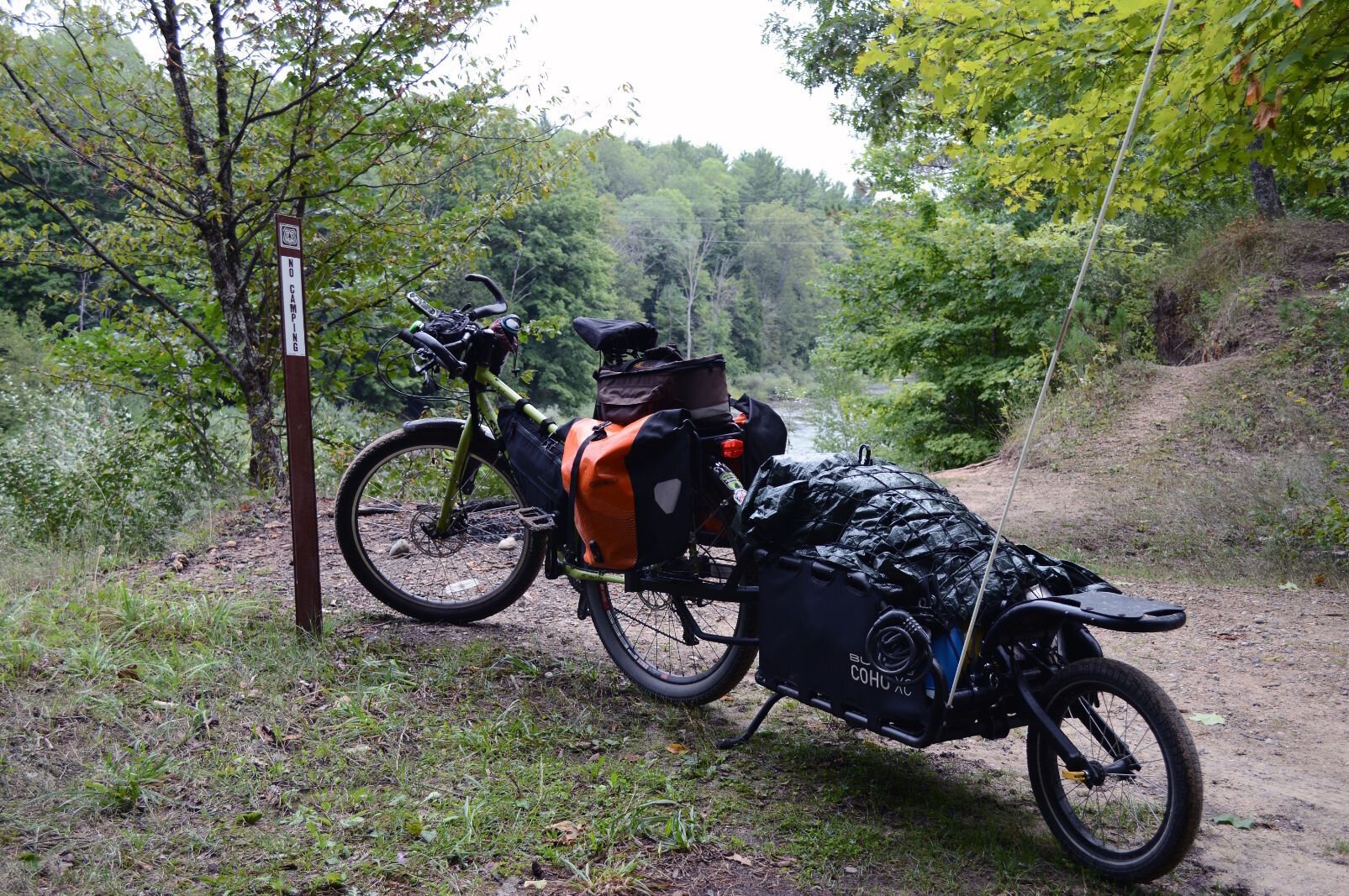
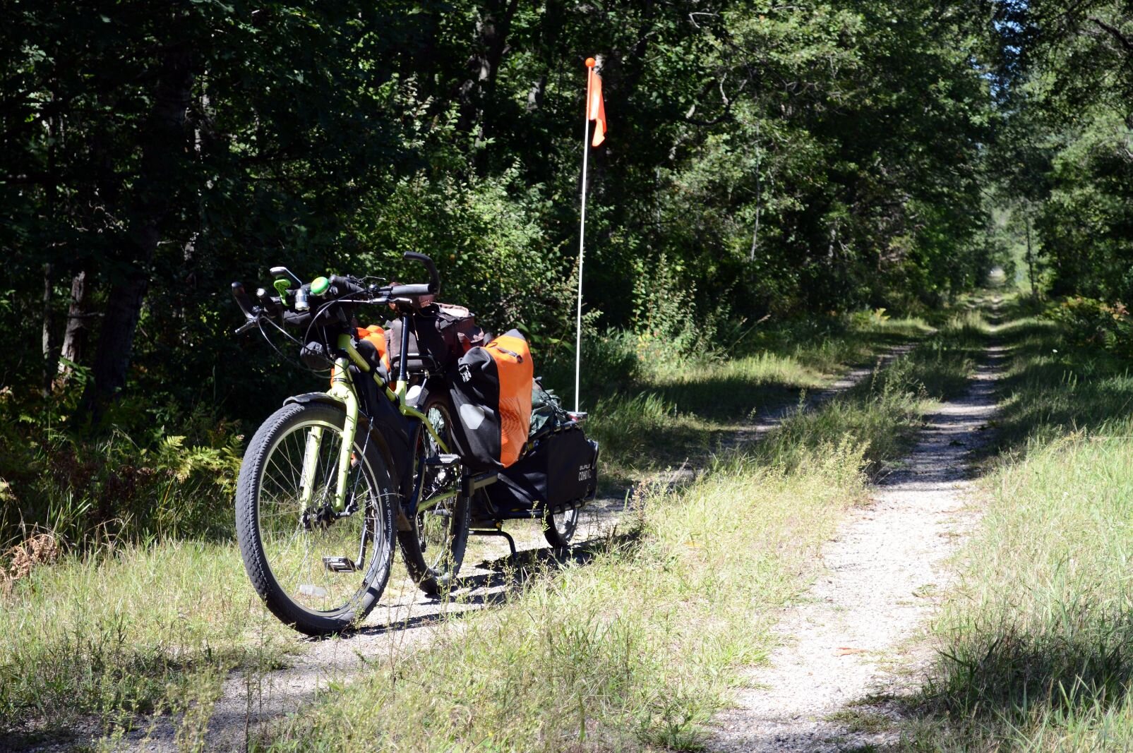
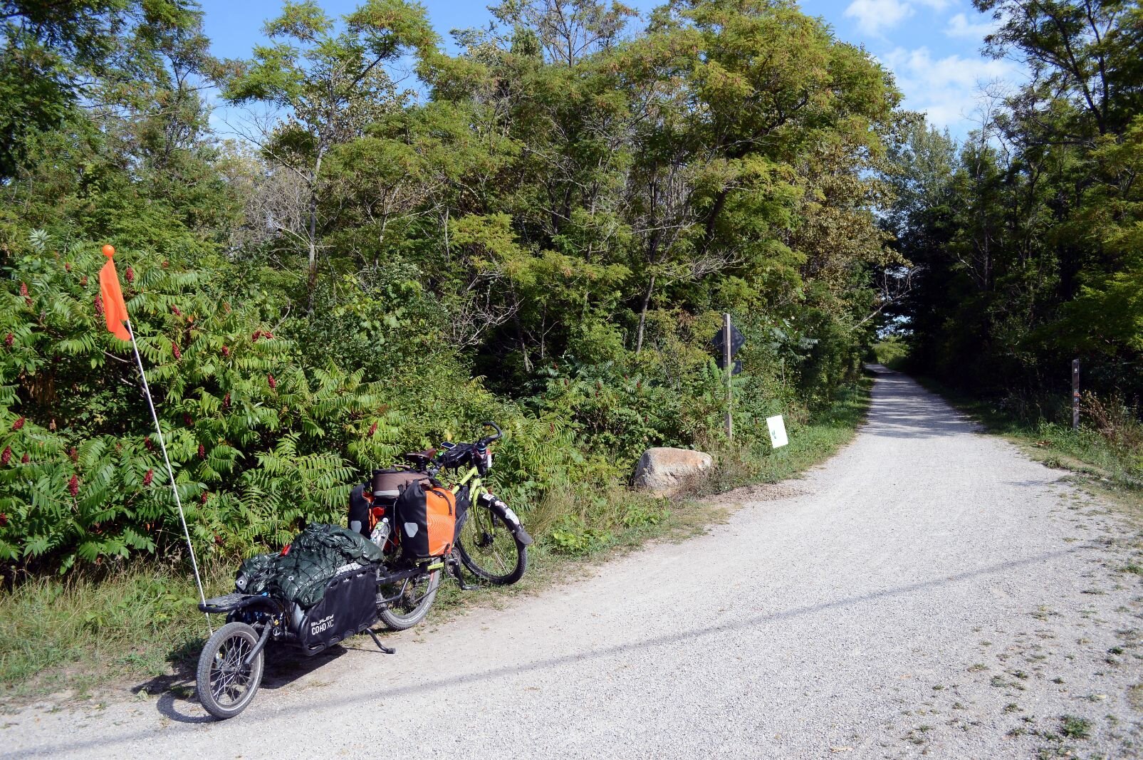
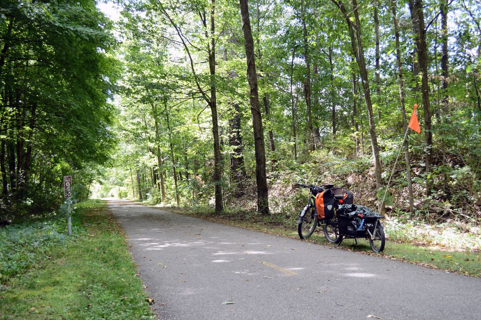
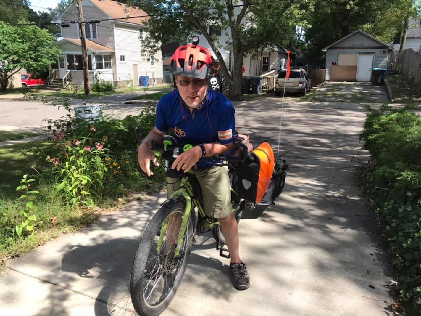
On this tour I was towing a Burley Coho trailer with my Surly Troll, loaded with camping gear. When I got the trailer last Christmas I’d thought, this time I would carry all I needed — from tent to dehydrated camping food — and not have to spend as much money at motels and restaurants.
My plan was to ride in June. Then COVID-19 arrived. New plan: Maybe August or September? If the infection rates went down enough to feel that the risk was low, I’d still want to be outside and away from people as much as possible.
My main goal was to ride through the Manistee National Forest. I spent the winter and spring mapping out routes. As I waited — going a bit stir crazy at the thought of not doing the ride this pandemic year — I began ordering items for real wild camping, including a water filter for drinking from woodsy streams, and a “cat-hole” shovel for those times when indoor plumbing or pit toilets weren’t available.
I spent hours tinkering with the routes to put in my Garmin bike GPS.
While actually riding on those routes I sometimes wondered, was I high when I mapped this out? When I chose this “road”? Was I smoking the angel dust, snorting the meth?*
*Mark Wedel has never used methamphetamine or PCP.
Here I am, with the bicycle equivalent of a loaded semi. Surprise! Weight is an issue here in the hilliest part of the Lower Peninsula. It’s bad enough on pavement, but on the many varieties of dirt roads, with surfaces that suddenly change in quality, the whole mess can help one develop new relations with physics.
Rolling downhill, the trailer pushing me, I kept thinking of a Facebook friend who did much longer tours. He was on his first Pacific to Atlantic ride last year when he went downhill on a dirt road in Montana, hit a pothole, flipped — long story short, he’s now planning to finish that tour next year, even if he might have to use a motorized wheelchair.
Thinking of what it would mean to break my neck, I rode the brakes while going downhill, arms stiff on the handlebars to keep any wobble from instigating the trailer’s tendency to waggle like the tail of a happy dog. Then, let go of the brakes at the bottom of the hill, and hoped the momentum could power me uphill as I dropped down gears until I’m churning the pedals around, crawling up to that top with lungs heaving, feet mashing.
Reach the top of the hill, see another hill just ahead.
What the hell was I thinking? That I could just crank up hills like this, like on the little paved hills back home in Kalamazoo?
At an intersection, a car slows to a stop on my right. Window rolls down. A couple, a guy driving, he asks, “You know the way to Dayhuff?”
“I dunno. I’m not from around here. You know the way to Cadillac?” I answer, a little manic from the climbing.
“He’s being funny,” I hear him say to the woman in the passenger seat. Couldn’t tell if he thought I was funny, or that he was remarking on an observed character deficit. He had the accent of pure rural Michigan, and he had no teeth.
“I don’t really know where I’m at right now. I’m from Kalamazoo. Just riding this mess around Michigan.”
“What you doin’ that fer?!?” he asks.
I do have a way to tell where I’m at, though. I tell him maybe I can find Dayhuff — a lake? — on my phone. I find it on Google Maps, try to explain how to get there, then I just roll over to the car and hand him the phone.
He points out that if he gets on 29, he’ll be able to find it. He then tells me that all I gotta do is go up this road, then that road, then another road, then south on 29, and 29 will get me near Cadillac.
“Main road south. It’s paved,” he says.
“It’s probably on my route in my Garmin.” I explain that I’m not exactly lost, I’m just following a route in my GPS. “I think I was high when I mapped it out,” I say.
“I think you were high when you started,” he waves his hand sardonically at my bike and trailer, “all this.”
“Why’re you doin’ this?” he continues. It’s like he’s encountered some weirdo engaged in an unfathomable activity, like herding kangaroos or downhill skiing on the dirt.
“Well, I’m just about 54! Adventure! I’ve got nothing better to do!” I fumble for reasons.
Sometimes I’m not sure why I’m doing this but I do it.
Weird, strained times
I suspect I do this partly to force out of my head that impatient 12-year-old who’s always demanding, “Are we there, yet?” The whiny voice demanding satisfaction, right now.
No, you little punk — you keep pedaling, you’ll get there. Look at the trees if you’re bored. You might get inspired by the wonder and grandeur of this huge world, slowly going by. No, put down that Twitter, that Facebook — I said put it down!
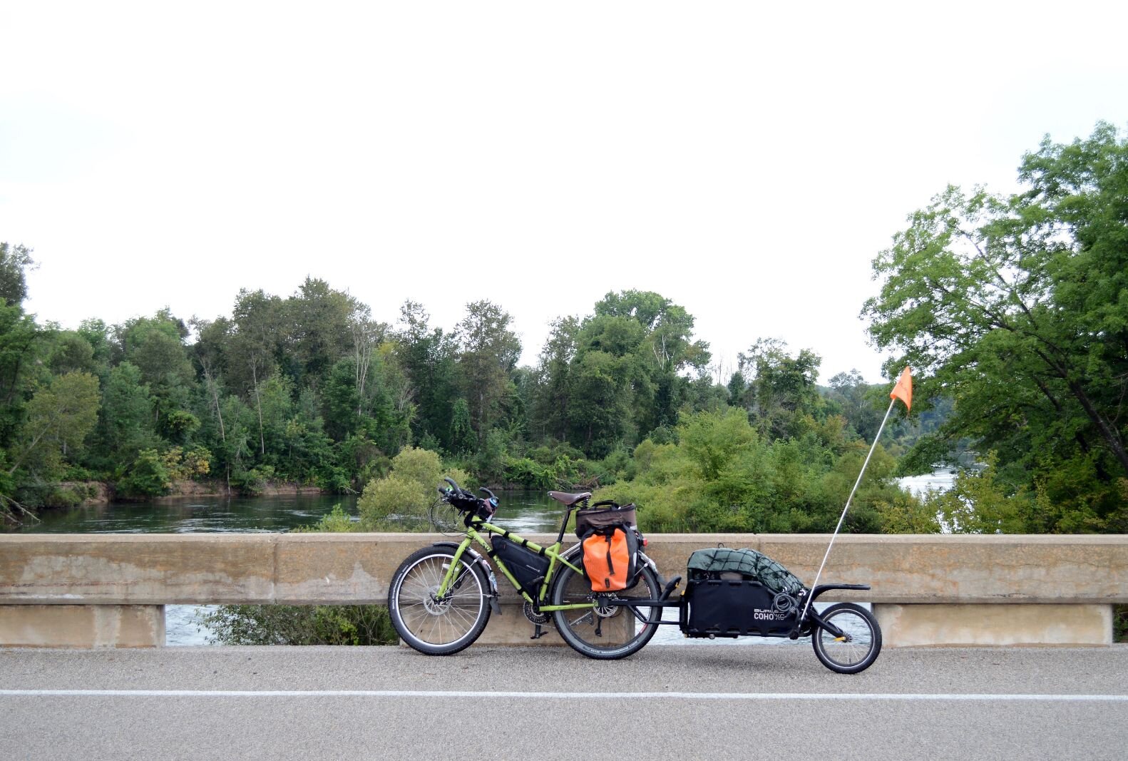
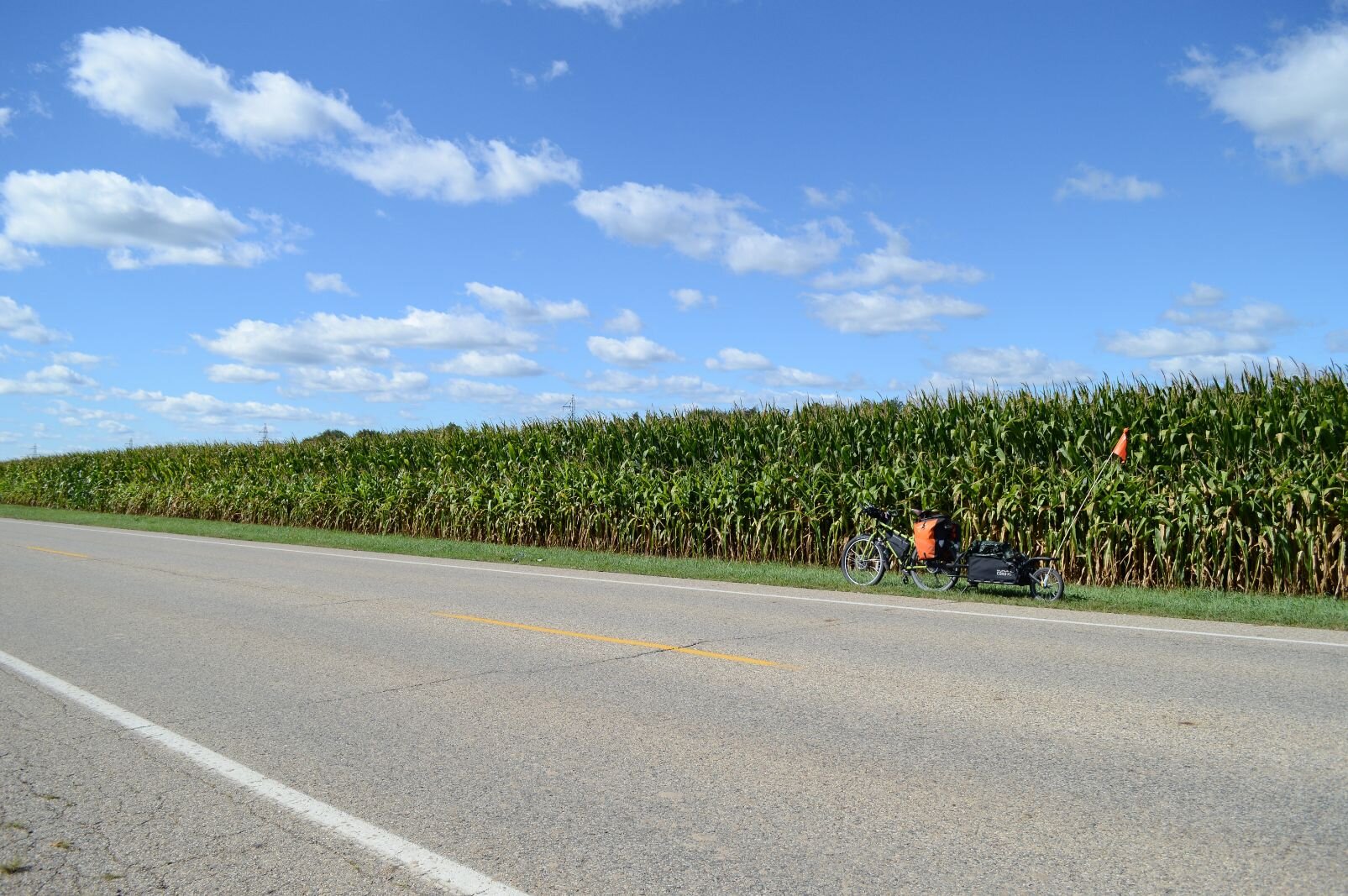
The whole trip: 556 miles, 13 days. From our garage in the Edison neighborhood to Grand Rapids, up a bit of the White Pine Trail, over to Newaygo State Park, up through the Manistee to Mesick, up to Frankfort, do a little sight-see ride to the Sleeping Bear Dunes area, back to Mesick, to Cadillac, down the White Pine to Newaygo again, Grand Rapids, home.
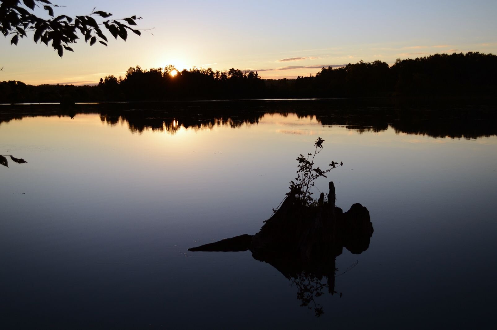
I started to lose track of time and place on day three while trying to sleep at a national campground at Nichols Lake. Heard the sound of loons. Then the very loud sporadic whoo of an owl. Then the sound of thunder that grew into a storm. I run out of my tent in my underwear at 4 a.m., to make sure all my stuff is sealed up in my drybags and Ortlieb panniers. Get back in the tent just in time to lie awake to the downpour and wild lightning.
Next day, I’d hoped the storm would’ve ended the heatwave of 90 degree days that’d led to dehydration and cramping legs the first two days of the trip, but it just added humidity to the heat. I stop at the Knotty Pine General Store, buy deviled eggs, eat them outside at a little table.
The store was getting an ice delivery. An iceman took pity, handed me a half bag of ice. I thanked him as if I’d never seen ice before, greedily poured as much as I could in my insulated water jug.
I’m a pathetic bicycle hobo already, I thought. I want to take all the ice with me, but it’s ten pounds, and would just soak everything in my cooler. I put my mask on, go in the store to tell the ladies working there — all in masks — that there’s free ice outside if anyone wants it. One comes out to inspect it.
There are various attitudes about masking and social distancing in the areas north of Grand Rapids (or any rural, urban, wealthy, poor areas of Michigan, for that matter). The women working in the store were in masks, a small group of customers was not.
She looks at the ice, says, “With all the, you know, stuff going around, I don’t think we’ll use it.”
“Yeah, I had my grubby hands all in that ice,” I say.
She dumps the ice out on the side of the road.
Later that day, I’m on a paved road with no traffic, headed west, on one side national forest, the other side private property. On the private side, a homemade billboard reads “DEMOCRATS Wearing Masks Since 1865,” alongside a hooded KKK figure labeled “WHITLER.”
Oh, I guess I don’t need the internet to get trolled.
This gives me some things to think about while I’m pedaling along. Comparing common-sense medical advice for mask-wearing during these days of COVID-19 to racist terrorism, and our Governor Whitmer to Hitler in a KKK hood, is a bit of a stretch. Maybe the billboard’s creator is really anti-racist, anti-Democrat, and anti-mask, and hates all so much they put up this sign to let the travelers of 96th St. know how masks=genocide?
A couple of days before — or was it after? — I see Tiny’s Trading Post, so I compulsively stop to grab food and water. Put on my mask, walk in, see that it’s a gun/ammo/fishing/outdoors store. Two old guys in the back, staring at me, no masks. They say nothing.
I walk to them. “I’m on a long bike ride, just stopping to see if you sold food or whatever,” I say.
They stare at me, say nothing. Not-friendly vibes.
I look around. About to walk out the door when I see a rack of nuts.
“Ah-ha! You do have food!” I take a pack of peanuts to the register.
One — Tiny? — gets up, slowly walks over, takes my money, rings it up.
“You have a good day, now!” he yells, tonelessly.
These are weird, strained times.
On day 10, it’s a beautiful morning on the Hodenpyl Dam Pond near Mesick. I wake up in the rustic Fletcher Creek privately owned campground by the water. Gunshots crack across the pond just before sunrise. Then more shots, very close, very loud. Hear ducks and geese. It’s now Sept. 1 — what’s in season?
I crawl stiffly out of the tent, make coffee, and eat. There are over 60 miles of road to do, some of which will be Mesick to Cadillac on the hills mentioned above. Pack up, roll out.
A few campsites down is a large pickup, painted dark grey, with three ones, “111,” in a ring of stars on the door. On the grill hangs a large “TRUMP 2020 NO MORE BULLS—” flag.
I, on my little bicycle, try not to stare at the guys in camo with guns. Look up the symbolism later — Three Percenters, a right-wing militia group that formed the year Barack Obama was elected.
Goose season does start in September. And with Fletcher Creek part of the Northern Exposure camping complex, I guess the right-wing hunters weren’t violating rules that ban hunting in the park and weren’t disrupting quiet time (it ends at 8 a.m.) if they’re offshore on the pond.
Get away from people, away from 2020
I needed to get away from people, get away from 2020. That was a goal for this ride.
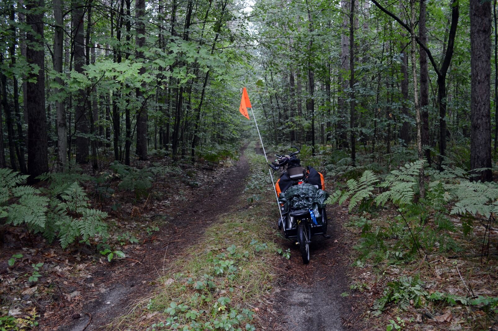
And I did. Even though some of the dirt road/trails/logging access routes were nightmares for my bicycle/loaded semi-trailer, I had those moments of peace and wonder. Groups of large deer bounding over the two-track road in a single leap. A red-tail hawk racing with me overhead. The simple peace of being among trees, no human-made sound except for my own panting.
The exertion creates a state of mind, primed to burst into a sort of ecstatic state of amazement.
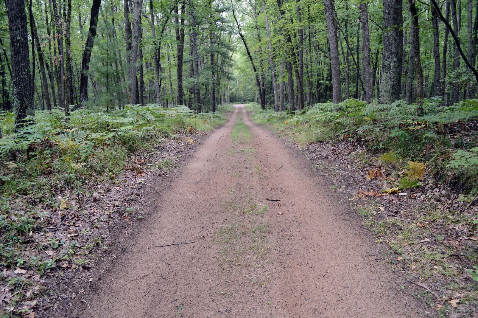
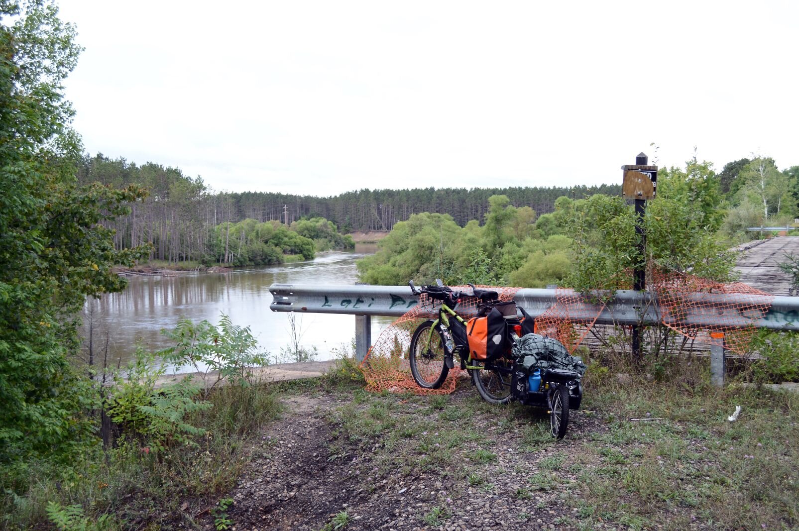
On day six, the first time going to the Mesick area, I only had 30 miles to go. No rush, as I bumped and slid and churned my wheels along Upper River Road, which looks to be a service road along a stretch of power lines. On my left, towering wooded ridge, over to my right through the trees, the Manistee River.
It’s fairly flat, at first. I’m amusing myself by learning how to get through its sandy/gravelly patches. Put the gears somewhere in the middle, keep a steady churn-churn-churn going, avoid any change in speed or direction which will bog me down and fall over in a low-speed wipeout.
The road curves away from the power lines, goes uphill. Oh no, not again. The churning method doesn’t work, I half-fall/stop on a slope. Get off, yank the beast uphill.
Reach the top, disoriented. I don’t know where I am — this could be Pennsylvania or Kentucky or West Virginia. I see higher hills, thankfully ones I don’t have to climb.
Michigan has mountains. Worn down by many glaciers, but still, it looks like the wooded hills of Appalachia.
I reach a bluff overlooking the river and feel like an old prospector, tugging the rope to my stubborn, overloaded mule. It’s cloudy, threatening rain, but there’s gold all around in this scenery.
Next day, I head northwest. It will be all cake on the Betsie Valley Trail, but first I had to rumble over its eastern segment, a rocky snowmobile trail.
Bumping along on heavy gravel through beautiful fields of wildflowers and farmland, I thought, the heck with this, and turned off on the next road.
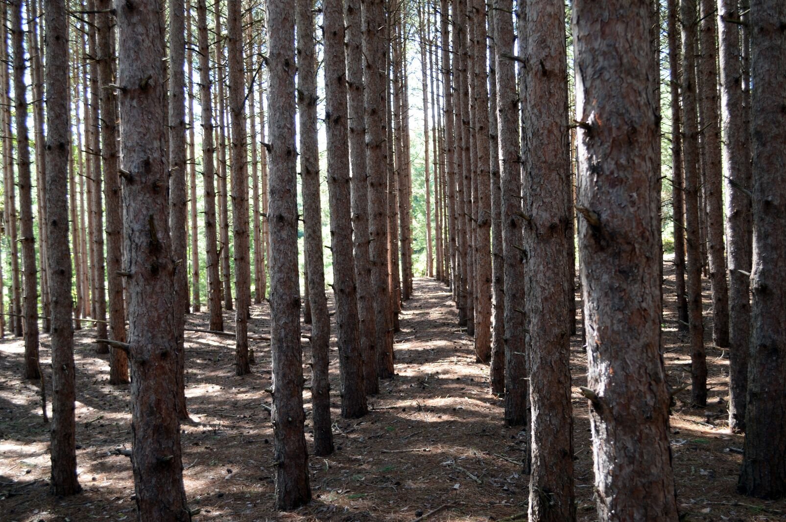
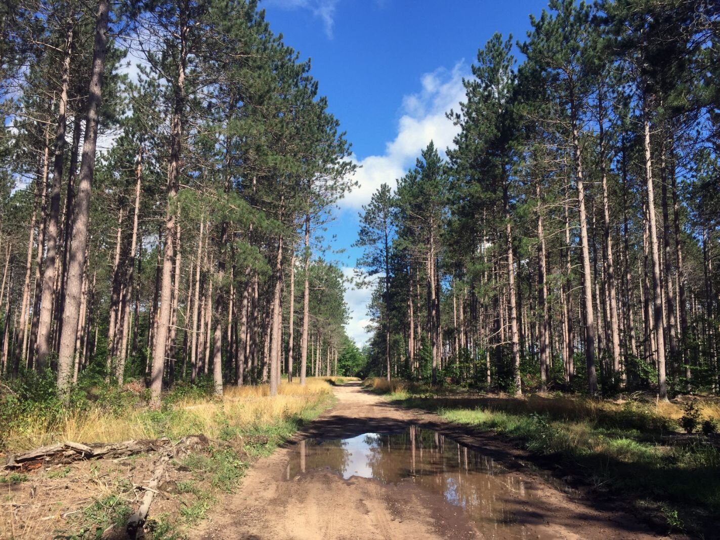
Google Maps shows me a convenient route* to get to Thompsonville, where the trail that leads to Frankfort has been improved for bikes. The road is dirt, but solid enough, and heads into tall pines. Since the trees are all in rows, it’s likely this is a plantation of FDR’s Civilian Conservation Corps, which reforested much of northern Michigan’s over-logged landscape during the Great Depression.
*Google Maps will lie to your face.
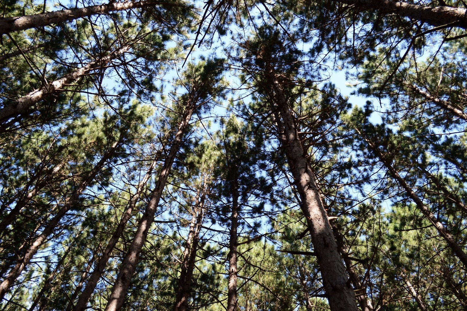
Stare up at the trees. See a large bird fly off — an owl? Dirt roads are a pain, but there are so few vehicles it feels like it’s all mine. Again, I’m at peace.
Then I hit a sandpit, the bike goes down, hard, I do a graceless dismount, land on my feet. Quote Pee Wee Herman, “I meant to do that!” No one is around to hear me.
The road becomes a logging road. Surface churned up by trucks, probably. Pass by fields of stumps where trees were taken. Hills dipping up and down. Not again. Not more hills.
Manage to make it to the actual Betsie Valley Trail, a beautiful long rail-trail much like the Kal-Haven. The great thing about rail-trails is, they were originally laid for train use — old trains didn’t have the power to get up steep hills, so all uphill runs are very gradual. My old train could appreciate.
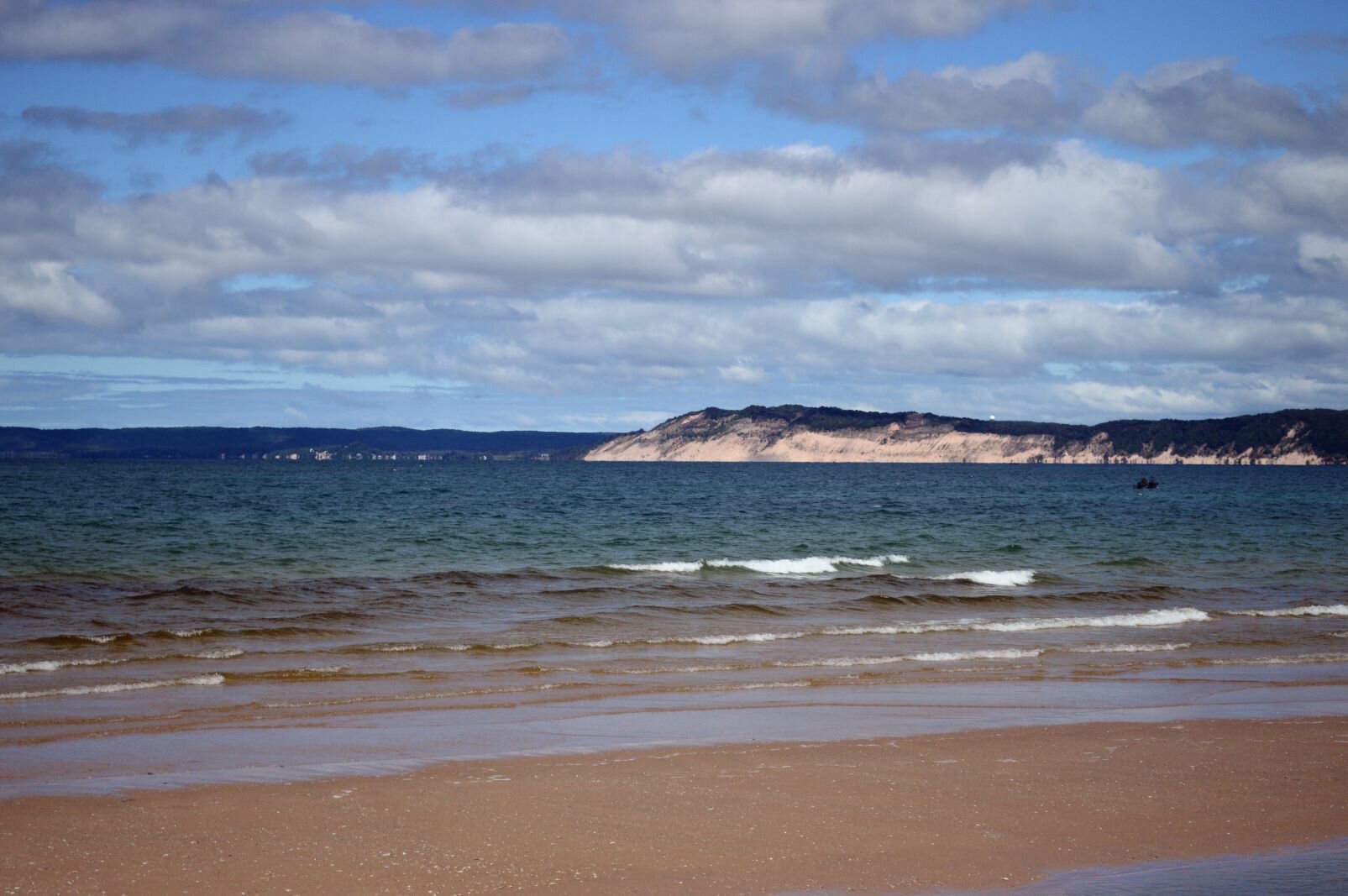
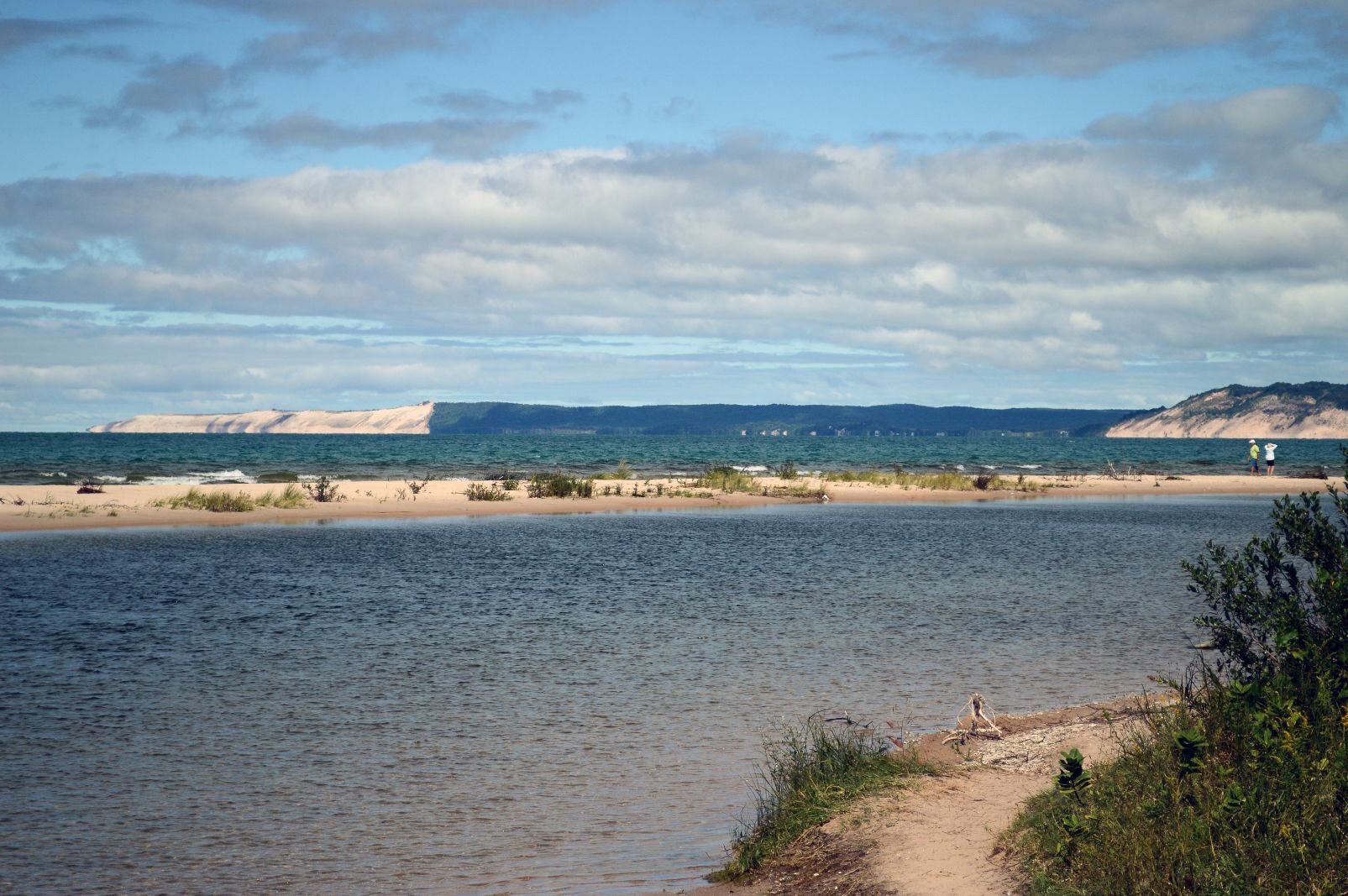
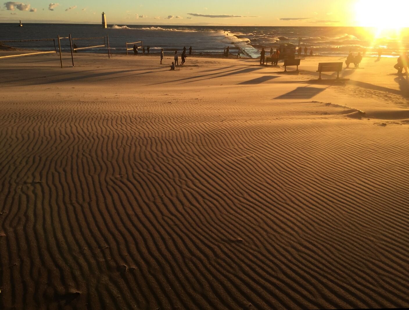
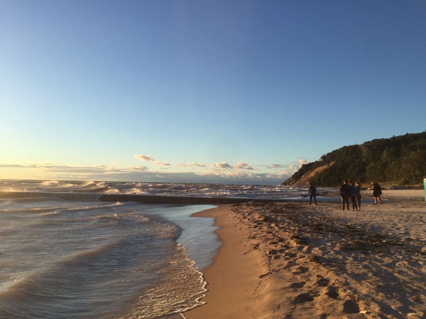
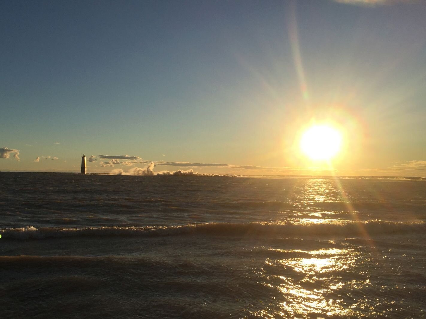
But it’s a downhill ride to the coast. I reach Frankfort, and see what the trip had been lacking — a Great Lake. The sight of Lake Michigan triggers another spell of near-weepy ecstatic emotion.
This is what I’m doing this for. I rode my bike here.
And you can do it, too!
Okay, you might not want to ride 556 miles, churn through dirt roads and up hills. But, if you are one of the many who started riding this year as a safe means to get out of the house and shake off that quarantined feeling, you may have surprised yourself with the number of miles you can put on your bike. The more you ride, the more you can ride, and the more you want to ride.
Maybe you’d like to explore some of this state by bicycle. Michigan has 13,000 miles of state-managed trails, plus thousands more of other trails, according to the Michigan Department of Natural Resources. That includes more rail-trail miles than any other state.
The MDNR has set Sept. 20-27 as Michigan Trails Week. Residents are challenged to ride ten miles (or paddle two miles, walk/run/hike for five miles, horseback ride for five) on Michigan trails.
If you feel that ten miles isn’t enough, and you’re looking for a journey and want adventure, here are a few recommendations based on my obsessive touring habits.
1: For a weekend, ride down one or more of Southwest Michigan trails, camp or stay in a motel, ride back. If you’ve never toured, this is a great way to test your abilities. I wrote about a weekend tour here.
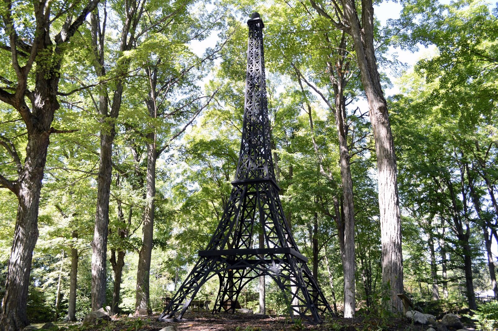
2: Drive your bike and equipment to another part of the state, find some long-term parking, and ride. The Fred Meijer White Pine Trail State Park is around 90 miles starting north of Grand Rapids, ending in Cadillac. You’ll be riding on paved surfaces and some challenging unpaved segments, through woods and farmland, with plenty of small towns to stop at for supplies. Camp at the halfway point of Paris, and see the famous “Eiffel Tower.”
3: Another beautiful ride, very woodsy and up-north, is on the trails connecting Charlevoix, Mackinaw City, and Alpena: Little Traverse Wheelway, the Petoskey to Mackinaw Trail, the North Central State Trail, and the North Eastern State Trail. This was the second solo tour that I pedaled, in 2014. My memory of this ride is of the first bald eagle I’ve seen in the wild, and of riding through the forest, realizing I was the only human in miles.
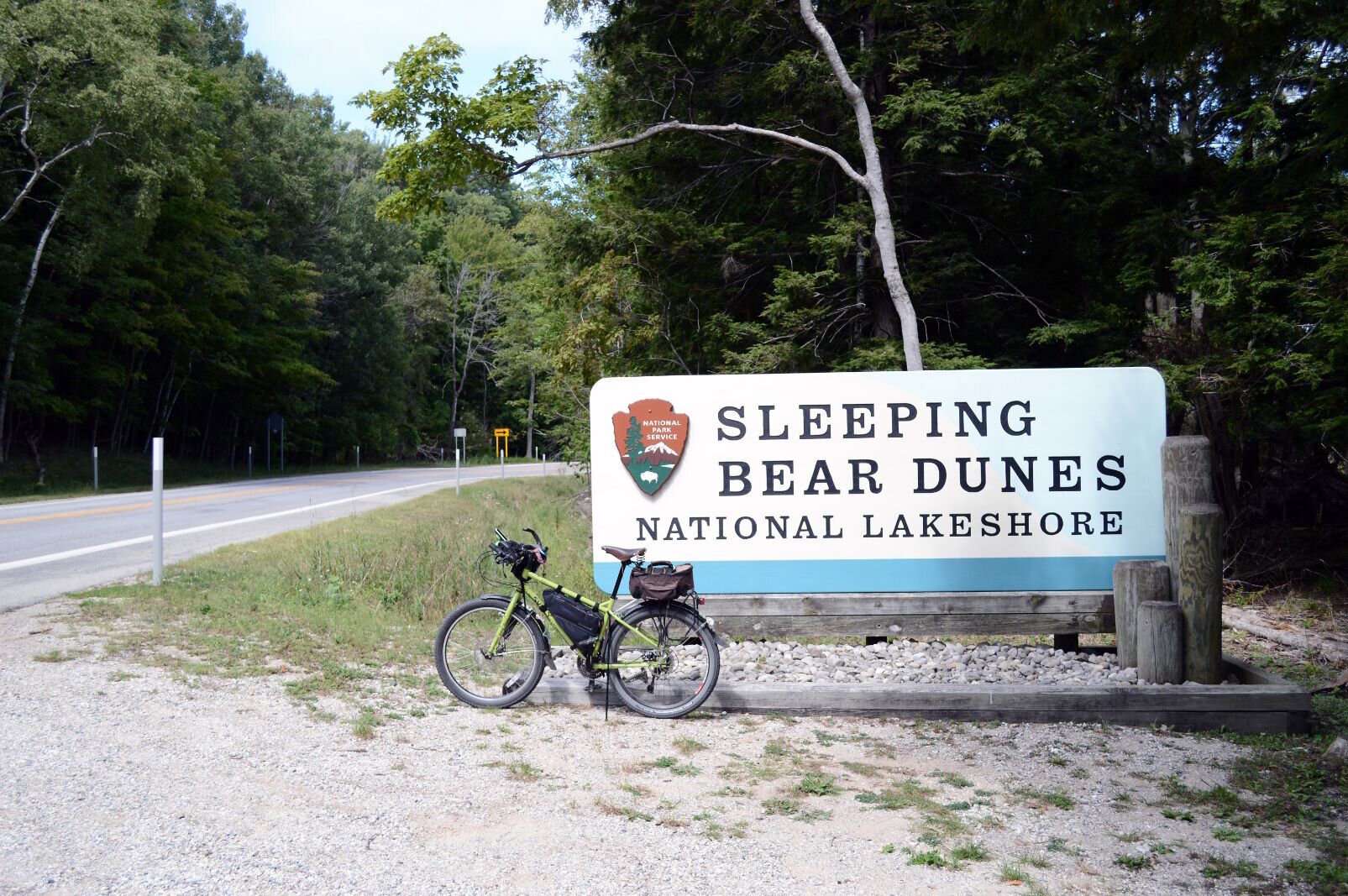
4: If you feel road-ready, try for a length of a United States Bike Route. I did much of USBR 35 along Lake Michigan in 2016. USBRs are state-recognized and signed bike routes that cross the U.S., an idea promoted by the Adventure Cycling Association. The routes connect rural roads, state highways, and trails, designed to be reasonably safe for experienced riders. During my 2020 ride, I had to return to M-22, north of Frankfort, to experience the beauty of the Sleeping Bear Dunes area once more.
Author

Related Articles
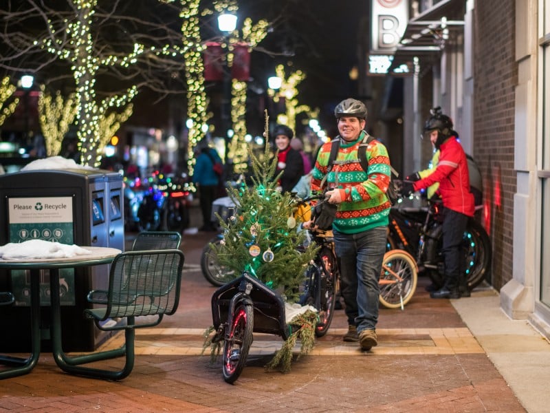
Kalamazoo’s Holiday Lights Ride blends seasonal joy with winter street challenges
The Holiday Lights Ride brought bikes, music, and seasonal joy to downtown Kalamazoo, even as icy streets underscored the challenges of winter riding.
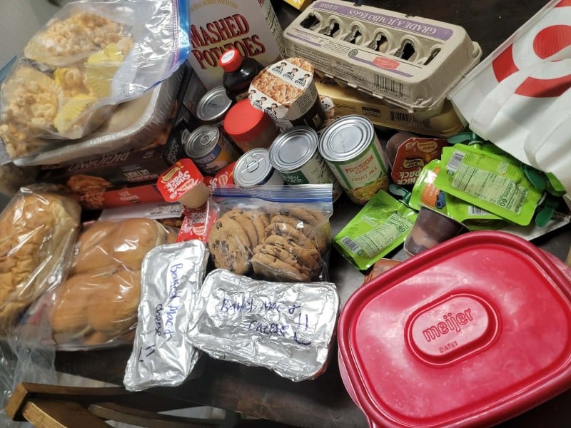
Voices of Youth: All aboard the Vicksburg Dinner Train, a rolling effort to feed neighbors in need
A grassroots Facebook group founded by Vicksburg resident and Army veteran Rebecca Walters is combating food insecurity in Kalamazoo County by organizing anonymous, community-driven meal trains for families in crisis.
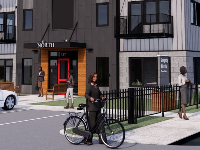
A 70-unit senior living project is on track to open in 2026 in Kalamazoo’s Northside Neighborhood
The Legacy Senior Living complex is expected by its proponents to hasten the transformation of the Northside.