This article is part of Inside Our Outdoors, a series about Southeast Michigan's connected parks, greenways, and trails and how they affect residents' quality of life. It is made possible with funding from the Michigan Trails and Greenways Alliance.
When you're on a scenic hike, enjoying the weather at its finest, it's easy to take for granted the sign that lets you know you're on the right path. And yet, throughout Southeast Michigan, dedicated park planners, facilities staff, and community activists are behind the scenes, hard at work, to make sure you don't get lost.
Given that many local trails overlap with each other and pass through different communities, and new trail sections are constantly being built, the task of coming up with unified signage for any given park agency is a major undertaking.
"Personally, I feel that wayfinding doesn't get enough recognition for the time that it takes, and all of the work and different players that feed into it," says Nina Kelly, chief of planning and development for
Huron-Clinton Metroparks.
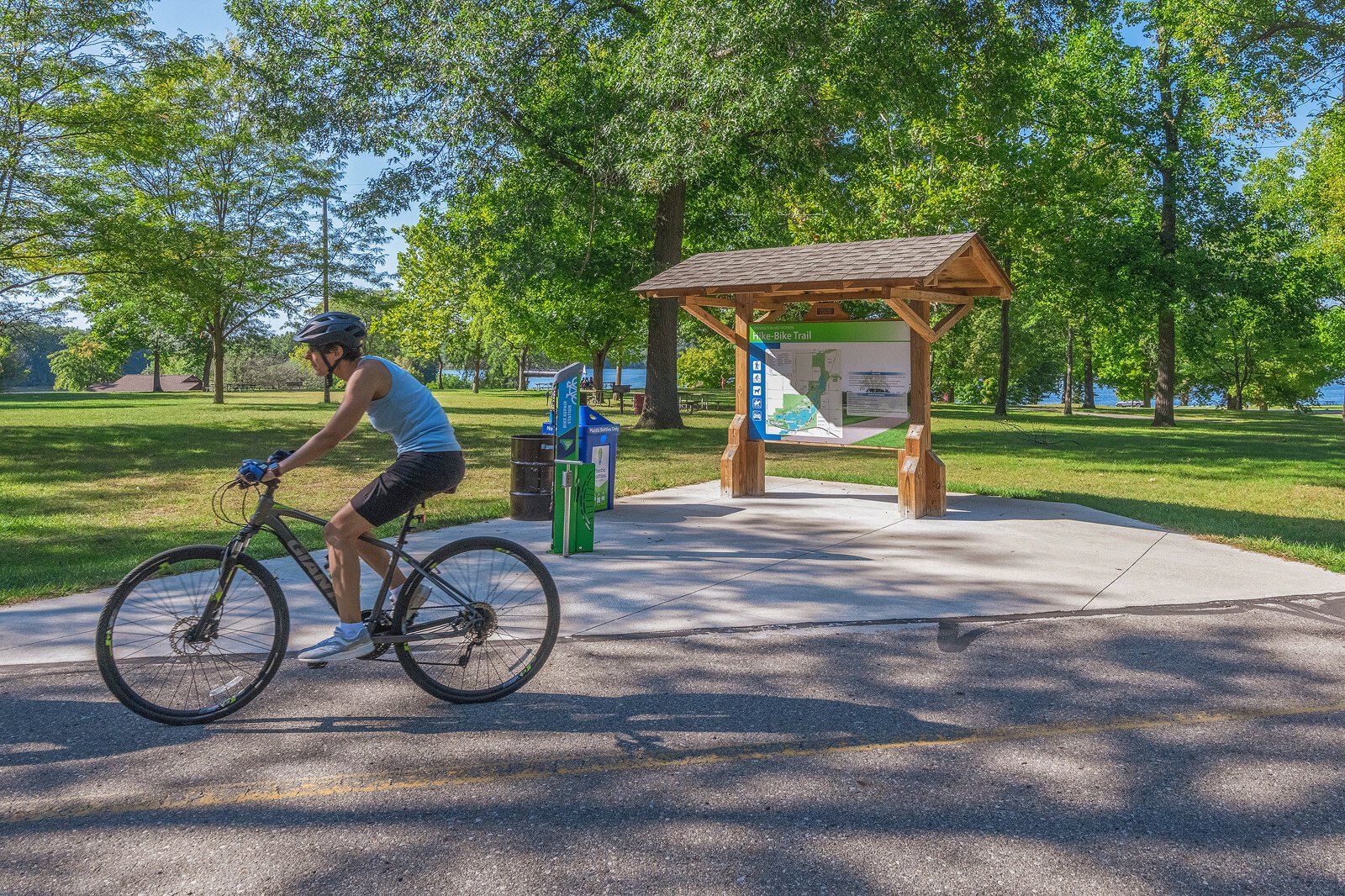
In 2016 Kelly's department took on the task of updating the Metroparks' signage across its 13 parks, which span five counties. Their redesign started by working with the Michigan Department of Transportation and county road commissions to improve signage on expressways. From there, they tackled road and trail signage within the actual parks. Every major facility — from nature centers to boat rentals — got a sign, too. The Metroparks used two CNC routers to make many of the signs in-house.
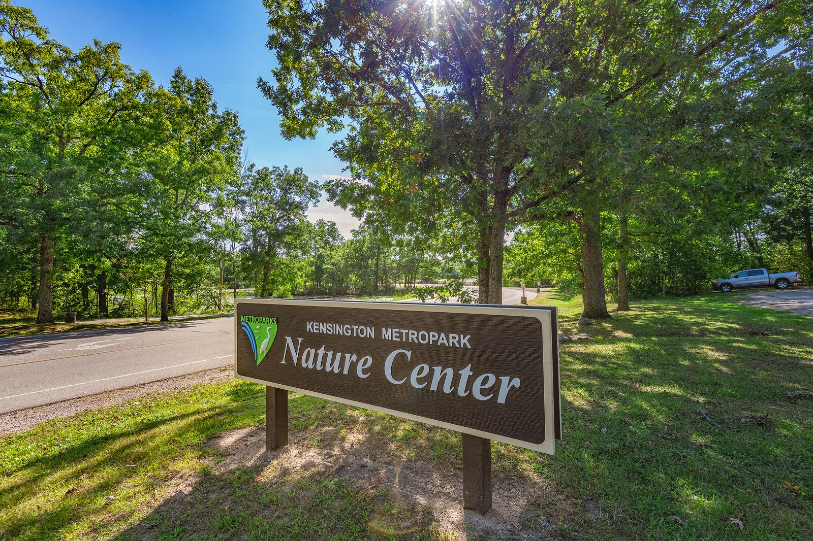
![]() Signage at Kensington Metropark.
Signage at Kensington Metropark.
Beyond fabrication and installation, careful thought goes into the design and placement of each sign. Peter Sanderson, who is the principal park planner for the Washtenaw County Parks and Recreation Commission, manages planning, public engagement, and engineering for the Border to Border (B2B) Trail. He notes that the trail has been built in various phases since 2001, and each section reflects a slightly different version of signage. The trail's last major sign redevelopment project was done in 2008, and Sanderson says those signs are "starting to show their age." There have since been updates to the B2B route, and the trail itself has been expanded.
"The definition of what the Border to Border Trail is [today] is different than what it was in 2008. We've added more than 20 miles to the planned trail," Sanderson says.
The B2B utilizes sidewalks, bike lanes, and city streets — cause for plenty of potential confusion from users wondering if they're still on the right path. Washtenaw County is in the process of designing and implementing consistent signage throughout the trail to make the user experience more intuitive. Wayfinding will involve text that is easily viewable as people bike or run by, as well as maps that provide more information — like directions to local attractions — for trail users who would like additional context. The wayfinding signs will also link to
a new website which offers interactive maps and information on what to expect when using the B2B.
"The interesting thing about the Border to Border project is that it's owned by a lot of different jurisdictions," Sanderson says. "Even though the Parks Commission is the lead agency and we're driving a lot of the initiative, we can't do it without our partners."

![]() Signage at Frog Island Park in Ypsilanti.
Signage at Frog Island Park in Ypsilanti.
The B2B overlaps with sections of the statewide
Iron Belle Trail, crosses the campuses of Saint Joseph Mercy Health System and Eastern Michigan University, and runs through numerous other urban and wooded areas across Washtenaw County. Design approval is sought from each local agency whose jurisdiction the B2B passes through. And because they're often the ones fielding feedback from trail users, the partners also help determine where signage should be placed.
Similar to the B2B, the 54-mile
Bridge to Bay Trail in St. Clair County passes through 14 different communities. Recently, St. Clair County's trails board decided to develop an identification and safety improvement plan. Sheri Faust, president of
Friends of the St. Clair River and chair of the regional trails board, says the Bridge to Bay Trail has been in the works for 20 years, but a comprehensive, collaborative wayfinding plan has never been done.
"We knew that the signage lacked," Faust says. "The Bridge to Bay trail is coming together so quickly, and in this push to complete it, it never occurred to us that we didn't have a brand for the trail!"
Over the course of eight months, the board developed a wayfinding plan including a brand and identity for the trail.
"It's simply not just a signage plan," Faust says. "It's led to this bigger picture of what we want the trail to be and how we want it to be recognized."
The board now has a spreadsheet that lays out all the signage needs of the 14 communities along the trail. The list is broken down into road signs and kiosks, which will be placed at trailheads and in parks.
"The juggling piece of all this is that the trail is in different stages of completion," Faust says. "We have some communities that are ready to purchase their signs, but their trail isn't ready yet, so we have to wait. And we have trail segments that will be developed and completed years down the road. The implementation will happen in phases as the trail is completed."
For now, teams of volunteers have been out paving the way with signs called "confidence markers," which can be made with a simple stencil and spray paint. Friends of the St. Clair River has been working with different community groups to spray these signs on the trail, providing users with an extra boost of confidence that they are on the right path.
Although unified signage is often a goal for trail managers, sometimes the job is just too big. The Michigan Department of Natural Resources (DNR) manages 13,000 miles of recreational trails and 100 state parks across 3 million acres of public land, says Dakota Hewlett, the DNR's Iron Belle Trail Coordinator. It wouldn't be possible to do so without support from local partners.
With two different routes stretching from Detroit to Ironwood in the western side of the Upper Peninsula, the planned Iron Belle Trail comprises over 2,000 miles of trails. A number of regional trails are part of it, including the B2B and the
Paint Creek Trail, which runs from downtown Rochester to downtown Lake Orion. In 2018 and 2019, communities along the Iron Bell Trail could apply to the DNR for Iron Belle Trail mini-grants to support promotion, planning, engineering and inspection, and feasibility studies for segments of the trail, as well as signage projects.
"It is a statewide initiative, but most of the trail users are not people who are biking from Detroit to Ironwood," Hewlett says. "They're local people who are going for a bike ride after work, or they're walking their dog."
The design is left up to the local grantee, depending on the needs of their community.
"The overarching goal [is] that by meeting local needs along the route, eventually we'll end up with a whole trail across the state," Hewlett says.
The Paint Creek Trail has received two Iron Belle Trail mini-grants for different phases of its wayfinding initiative. The 8.9-mile trail is a former railroad line that was converted into a rail-to-trail in the 1980s. It passes from urban areas to sections that trail manager Melissa Ford says look "like you're up North." With state grant funding, the Paint Creek Trail has been able to enlist a design firm to develop a consistent brand, and work with a local sign shop that is in the process of fabricating 12 new signs.
Collaboration on wayfinding projects isn't just limited to the DNR and local agencies. Others across our region have joined forces to make wayfinding more intuitive.
For example, Huron-Clinton Metroparks have worked collaboratively in recent years with the city of Detroit and
Friends of Rouge Park to identify and support their needs. When storytelling to highlight Rouge Park's many facilities was called for, the group developed a pitch for the
University of Michigan's (U-M) Public Design Corps. This past summer, a team of U-M students put forth a plan to map out Rouge Park's facilities in a way that would be more intuitive for visitors. Two of the students are staying on this fall as interns to complete the project.
![]() Signage at Kensington Metropark.
Signage at Kensington Metropark.
"It behooves us to all work together and provide the amenities that people throughout Southeast Michigan need and want," Kelly says. "Parks people are pretty agreeable, and we're all pretty passionate about what we do. We care a lot, and we see the public benefit. We want to work together for the betterment of the folks in the region."
Jeanne Hodesh is a freelance writer based in Ann Arbor, where she covers small business, food, and culture. She holds an MFA from Hunter College. Her essays and articles have appeared in Lenny Letter, The Hairpin, and Time Out New York, among other publications.
All photos by Doug Coombe.